Public cabins vector data for the Hardangervidda wild reindeer area in Norway
Source:R/data.R
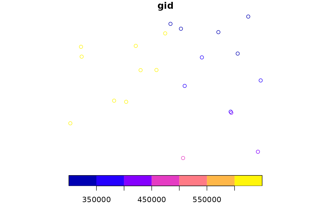
hardanger_cabins_public.gpkg.RdDataset containing the location of large, public DNT cabins and mountain hotels in the surroundings of the Hardangervidda wild reindeer area. Retrieved from the public N50 dataset.
Format
A geopackage file. Projected CRS: ETRS89 / UTM zone 33N. The vector file presents the following columns:
gid: Line number, corresponding to the original dataset
buildtype: Type of building (code) in the original dataset
city: Code of the municipality where the cabin is located
value: Value 1, to be used for rasterization purposes
Examples
(f <- system.file("vector/hardanger_cabins_public.gpkg", package = "oneimpact"))
#> [1] "/home/runner/work/_temp/Library/oneimpact/vector/hardanger_cabins_public.gpkg"
v <- terra::vect(f)
plot(v)