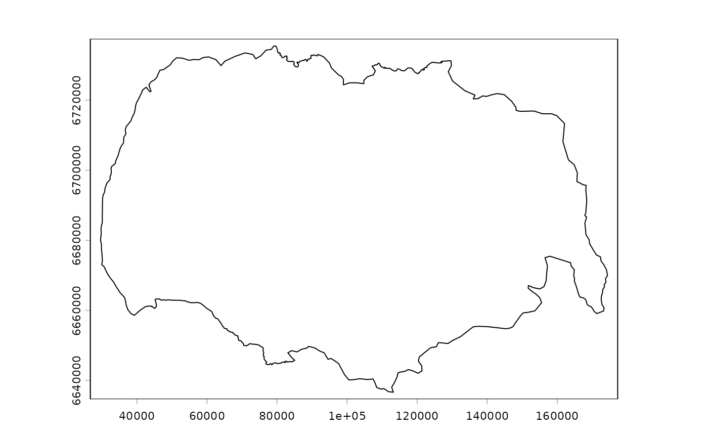
Polygon delimiting the study area around the Hardangervidda wild reindeer area
Source:R/data.R
hardanger_polygon.gpkg.RdDataset containing the polygon of the Hardangervidda area. It is different from the official wild reindeer area and is delimited by the main roads and barriers in the surroundings of the Hardangervidda plateau in Southern Norway,
Format
A geopackage file. Projected CRS: ETRS89 / UTM zone 33N. The vector file presents the following columns:
reindeer_areas_id: ID of the area
name_area: Name of the wild reindeer area
Source
Niebuhr, B. B., Van Moorter, B., Stien, A., Tveraa, T., Strand, O., Langeland, K., Sandström, P., Alam, M., Skarin, A., & Panzacchi, M. (2023). Estimating the cumulative impact and zone of influence of anthropogenic features on biodiversity. Methods in Ecology and Evolution. https://doi.org/10.1111/2041-210X.14133
Examples
(f <- system.file("vector/hardanger_polygon.gpkg", package = "oneimpact"))
#> [1] "/home/runner/work/_temp/Library/oneimpact/vector/hardanger_polygon.gpkg"
v <- terra::vect(f)
plot(v)