Dataset containing the location of large, public roads is Southern Norway, within the reindeer management area of Setesdal Austhei. Retrieved from the Norwegian road dataset Elveg 1.0.
Format
A geopackage file. Projected CRS: ETRS89 / UTM zone 33N. The vector file presents the following columns:
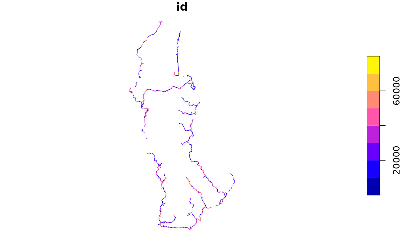
id: Line number, corresponding to the original dataset
name: Local name of the road
publ_priv: Whether the road is public or private
traffic_bin: Binary classification of the traffic on the road - high or low
name_area: Name of the reindeer management area where the road is located
traffic_bin: Value 1, to be used for rasterization purposes
Examples
(f <- system.file("vector/reindeer_roads_public.gpkg", package = "oneimpact"))
#> [1] "/home/runner/work/_temp/Library/oneimpact/vector/reindeer_roads_public.gpkg"
v <- sf::st_read(f)
#> Reading layer `reindeer_roads_public' from data source
#>   `/home/runner/work/_temp/Library/oneimpact/vector/reindeer_roads_public.gpkg'
#>   using driver `GPKG'
#> Simple feature collection with 2862 features and 6 fields
#> Geometry type: MULTILINESTRING
#> Dimension:     XY
#> Bounding box:  xmin: 63605.12 ymin: 6513202 xmax: 130683.5 ymax: 6645648
#> Projected CRS: ETRS89 / UTM zone 33N
plot(v[1])