Biodiversity Metric 4.0
User Guide
Install the Biodiversity Metric app on your tablet
The Biodiversity Metric 4.0 QGIS template is uploaded to NINA’s QField Cloud account.
Open QField on your tablet and go to
QFieldCloud projects>My ProjectsSelect the project and the latest version of the project will be downloaded to your tablet.
- bm4_project_name_year: project specific NiN mapping template.
It can take up to several minutes to download your project
Set your user name in the QField app. This ensures that your name is automatically added to the
Mapped byfield in the attribute table, every time you map a new naturtype.- Go to
Settings>Settings>Variables - Add a new variable
qfield_user_namewith your namefirstname.lastname
- Go to
Read the PDF instructions here.
Developer Guide
How to create a new Biodiveristy Metric template for a new project area?
You can create a new template for a new mapping area by using the Biodiveristy Mapping template for Norway. Here you need to add your study area polygon and offline background maps.
Download the QField template from the BiodiversityMetric_QGIS_3.x repository.
Create a new polygon layer
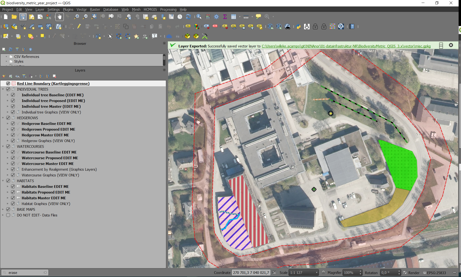
study_areaand save it tovector/%project_name%_misc.gpkgGPKG and source it to theRed Line Boundary(Kartleggingsgrense)group.Download raster files in
GeoTIFFformat from høydedata.no and norgeibilder.no.- DTMs and DSMs: høydedata.no
- Ortophotos (RGB and CIR): norgeibilder.no
- Login with your Geonorge GeoID
- enter study area bounding box coordinates
- Coordinate system: UTM 33
- clip by bounding box
- send order
Convert your rasters to Cloud Optimized GeoTiffs. Shell scripts can be found here.
Add your downloaded raster files as offline map layers in QField.
Upload your new project to QField Cloud and invite the fieldworkers (collaborators) to the project.
Change log:
We adapted the template from The Statutory Biodiversity Metric - QGIS template, developed and published by Natural England (JP039) under the Open Government Licence - OGLv3.0. Changes made to orginal template are documented here.
NINA Contacts
Biodiversity Metrics:
- Trond Simensen
- Erik Stange
QGIS/QField Cloud managers:
- Trond Simensen
- Stig Claussen