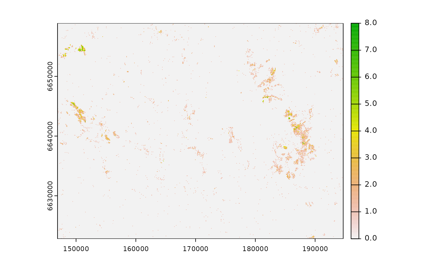
Raster data indicating the number of tourist private cabins per pixel in Norway.
Cabins corresponds to some specific building types (object_type = "Bygning",
byggtyp_nbr = c("161", "162", "163")) form the public N50 dataset.
The original data consisted of point vector data and were rasterized with 100m
resolution by counting the number of cabins in each pixel. The raster
was clipped for the study area presented in the oneimpact package.
See also
Maps for the sample area:
Limits of sample area: sample_area.gpkg
Cabins: sample_area_cabins.gpkg, sample_area_cabins.tif
Roads: sample_area_roads.gpkg, sample_area_roads.tif
Examples
(f <- system.file("raster/sample_area_cabins_count.tif", package = "oneimpact"))
#> [1] "/home/runner/work/_temp/Library/oneimpact/raster/sample_area_cabins_count.tif"
r <- terra::rast(f)
plot(r)