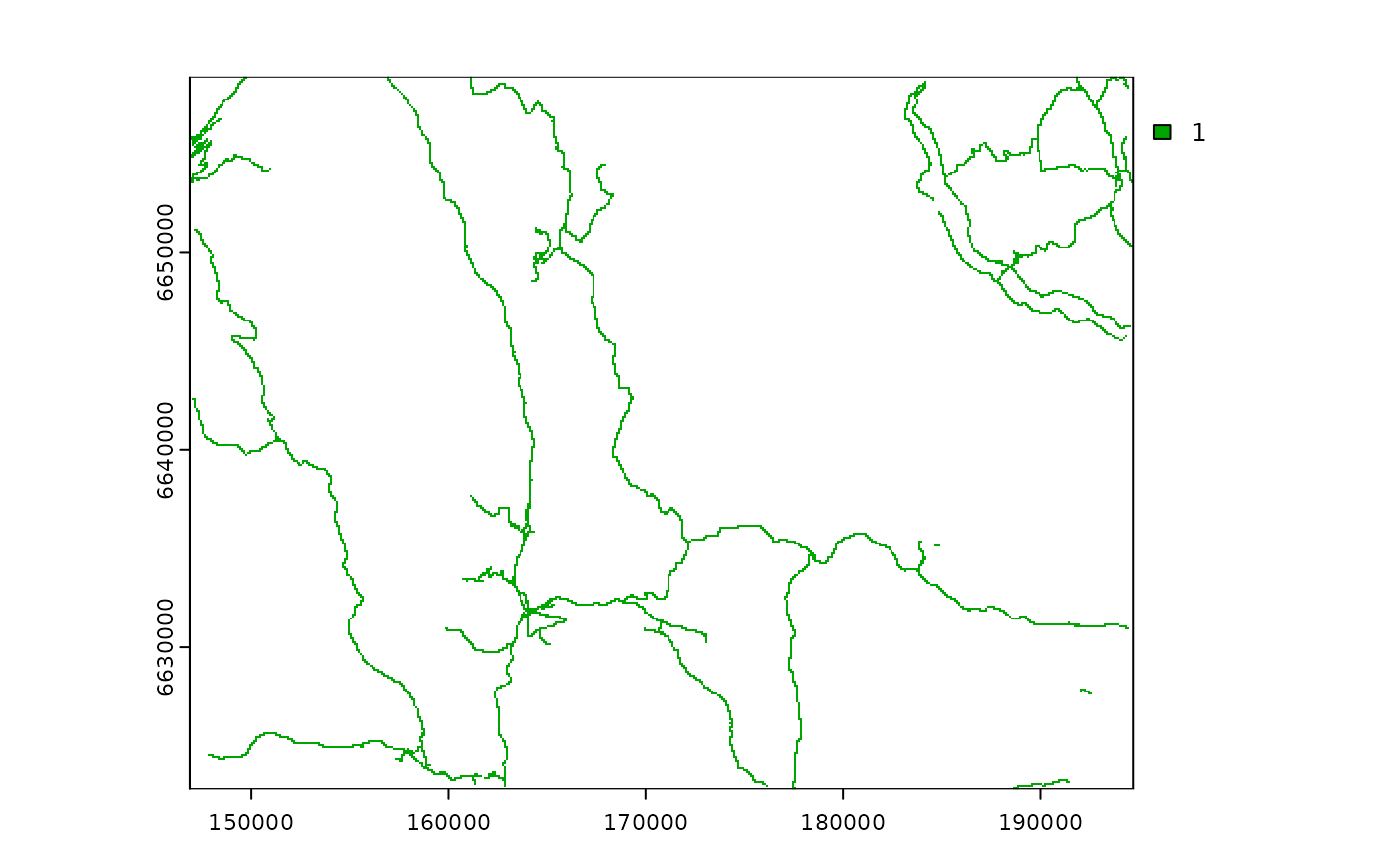
Raster data indicating pixels with public roads in Southern
Norway. Rasterized from the vector data from the Norwegian road dataset Elveg 1.0
with 100 m resolution and
clipped for the study area presented in the oneimpact package.
Format
A Geotiff file. Projected CRS: ETRS89 / UTM zone 33N.
1: Presence of roads
NA: No presence of roads
See also
Maps for the sample area:
Limits of sample area: sample_area.gpkg
Cabins: sample_area_cabins.gpkg, sample_area_cabins.tif,
sample_area_cabins_count.tif
Roads: sample_area_roads.gpkg
Examples
(f <- system.file("raster/sample_area_roads.tif", package = "oneimpact"))
#> [1] "/home/runner/work/_temp/Library/oneimpact/raster/sample_area_roads.tif"
r <- terra::rast(f)
plot(r)